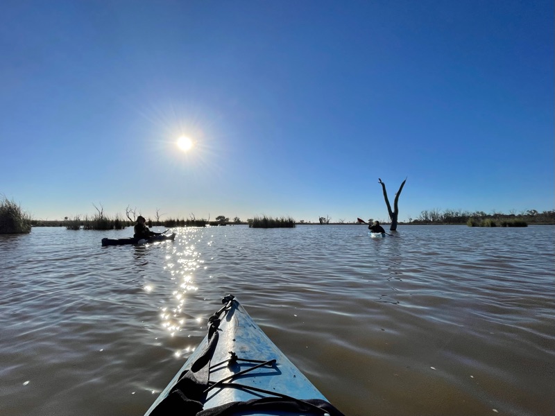
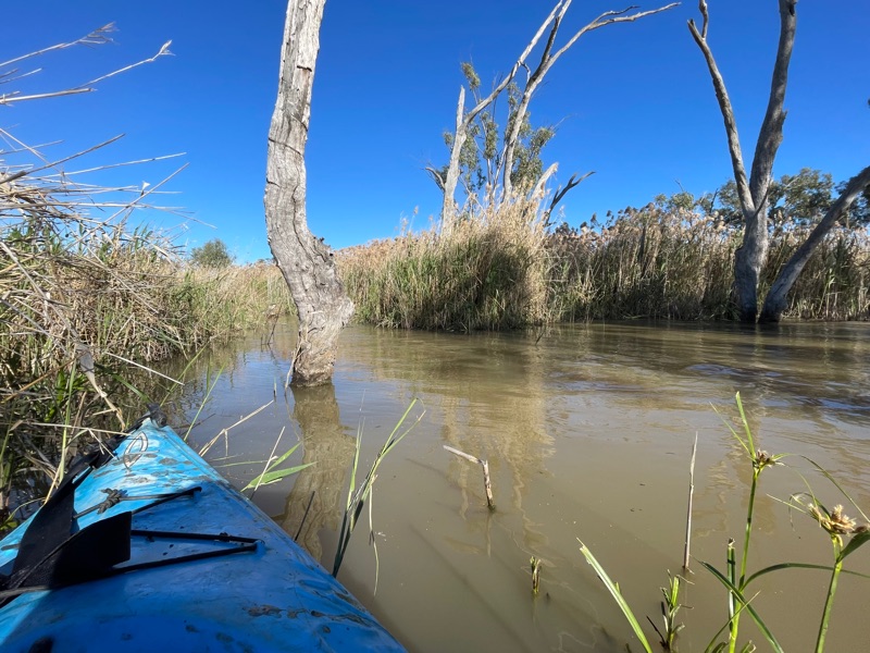
We had three nights camped at Willie Retreat, so two days to explore the Macquarie Marshes and environs.
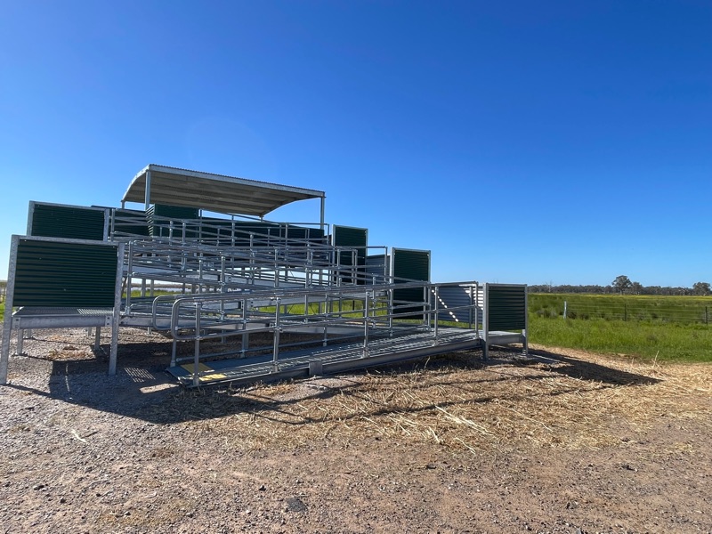
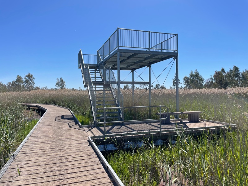
Firstly, we drove a little further down the dirt road that Willie Retreat was located on to see the Monkeygar bird watching platform located beside Monkeygar Creek.
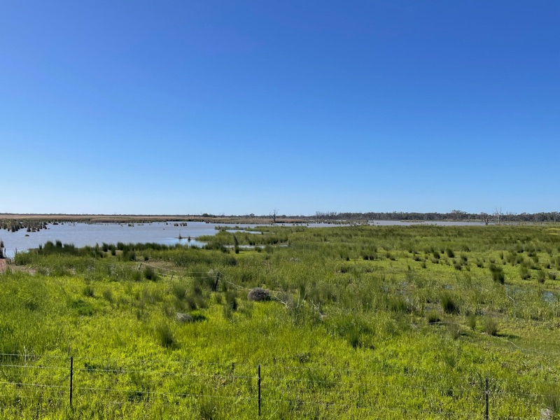
It is quite an impressive structure that has only recently been built, overlooking a large lagoon.
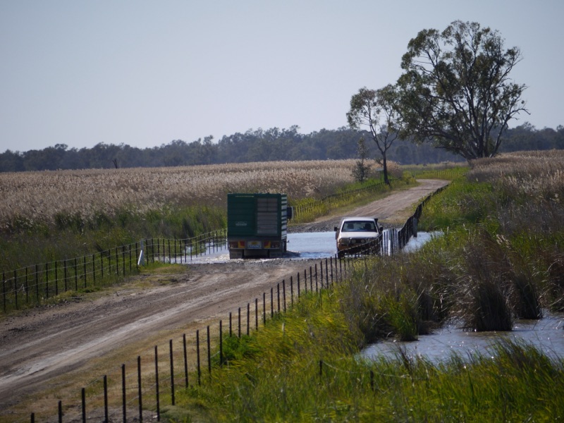
The road continues across to Quambone, but there are a few creek crossing that were too deep for us to traverse.
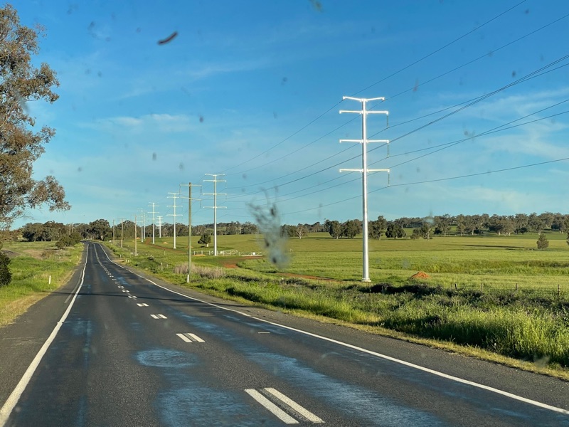
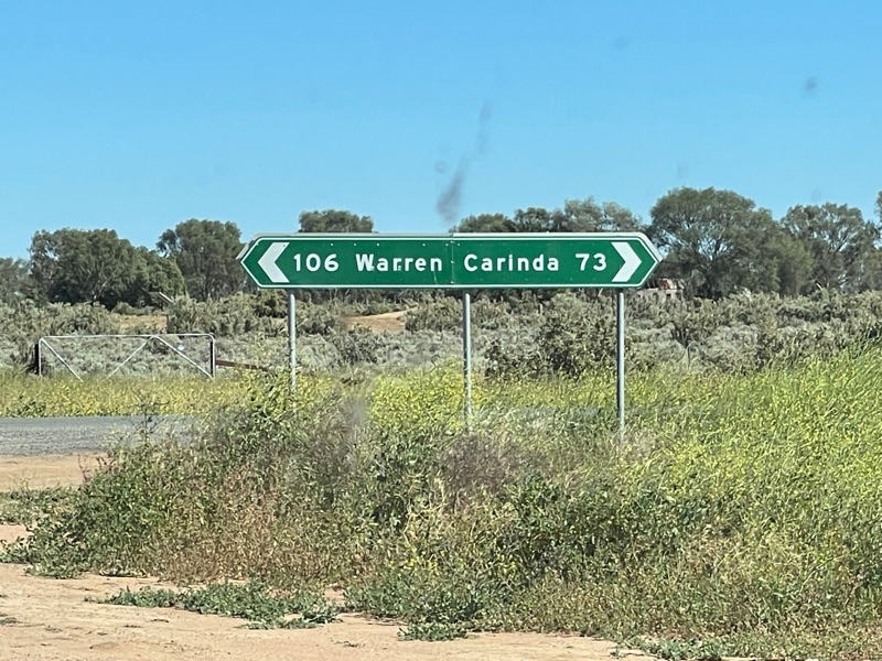
Back to the tar road, we continued to head north towards Carinda.
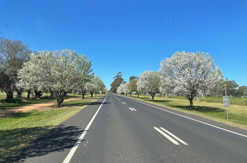
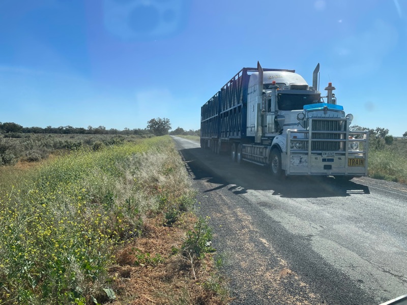
We met a few cattle trucks. As you can see there isn’t a great deal of room on the tar, so we got well off the road to give them space.
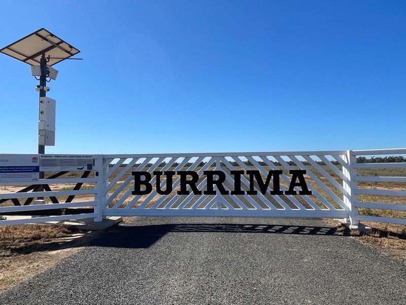
Our first stop was at Burrima Board Walk. It had quite an impressive entrance. The deal is, you pay $25 on line per car to enter and when you arrive you enter your allocated pin into the key pad to open the gate and then again when exiting. It was well worth the money.
This is on private property, as is much of the marshes. A lot is grazed, but this property has had no grazing since 2005, when it was purchased by the Macquarie Marshes Environmental Trust.
There is a large parking area with picnic area and loos.
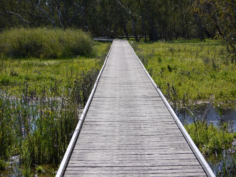
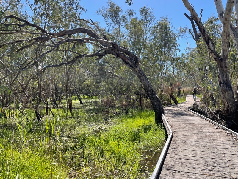
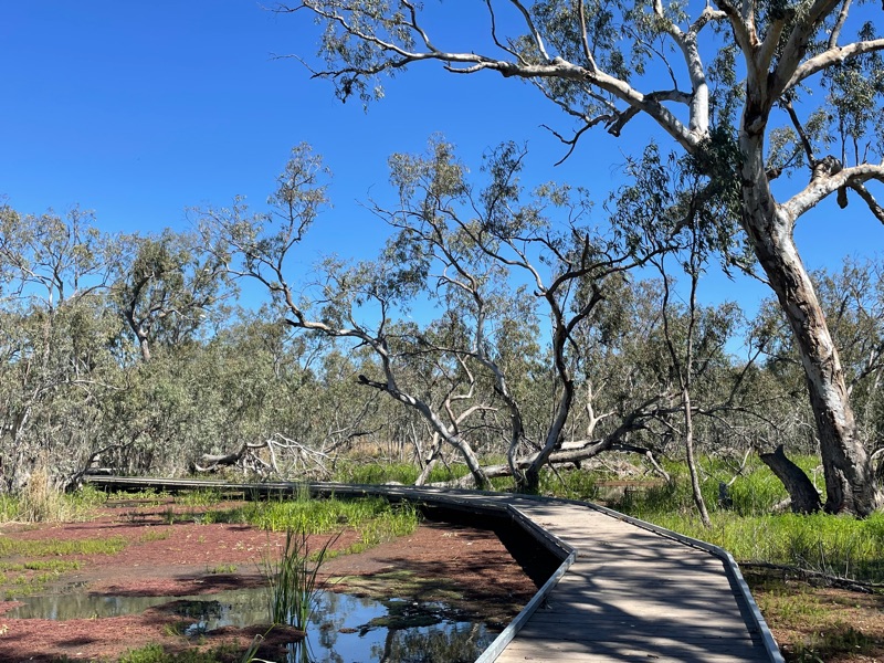
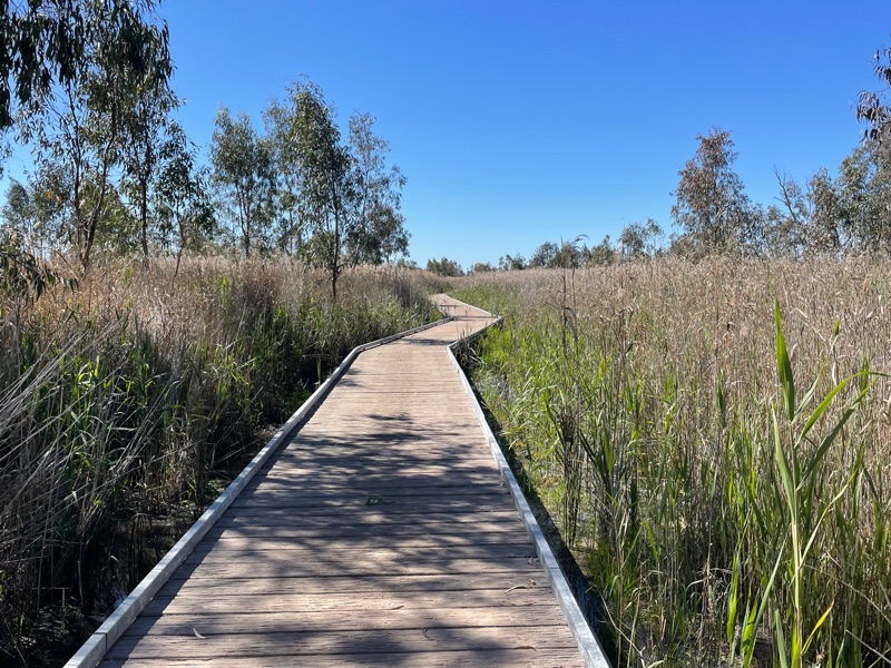
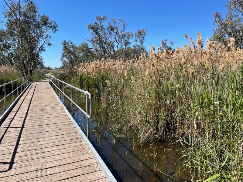
From there you enter the board walk, which is well constructed from steel frames with concrete planks that really look like weathered timber.
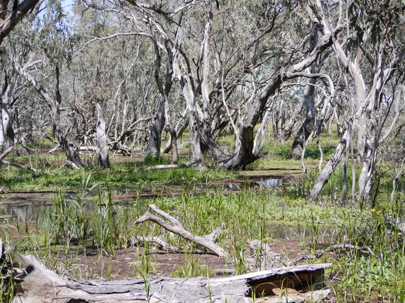
The cost of construction would have been immense, hence being happy to pay the entry fee…..I digress. What do you see?
The boardwalk goes for about 2kms through the wetland.
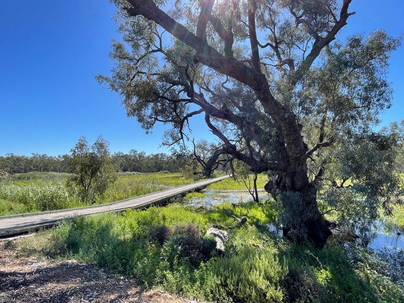
It fits around the trees as it goes.
It was so peaceful.
The photos don’t do it justice.
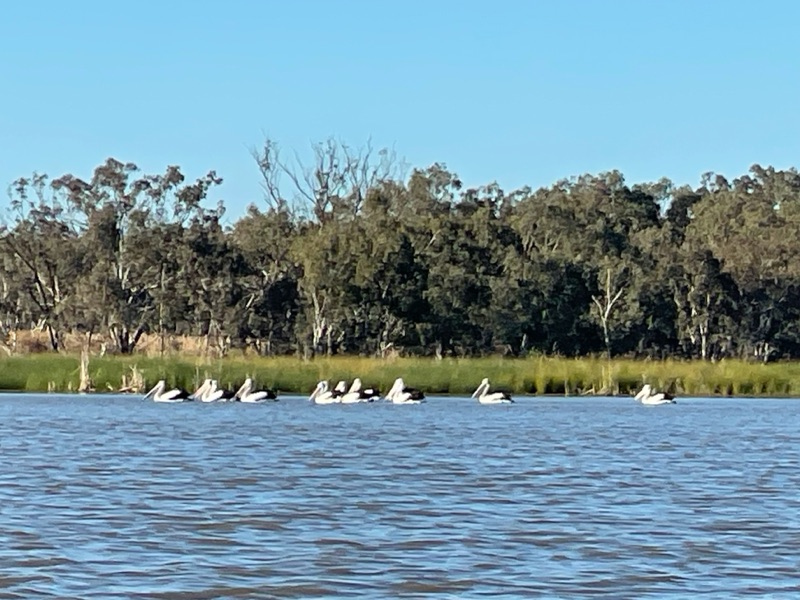
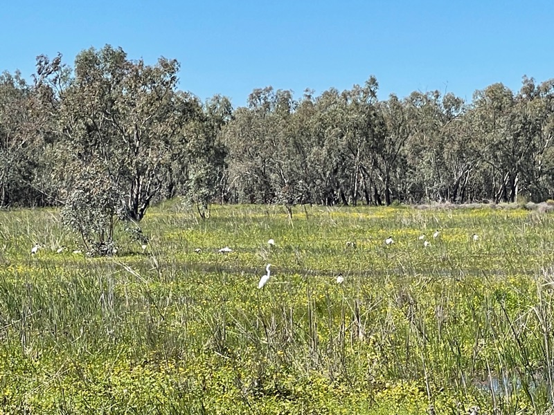
There were lots of birds.
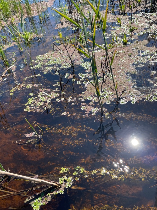
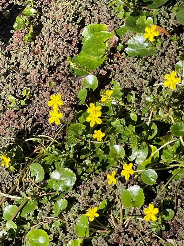
There weren’t as many wildflowers as I expected. These are Wavey Marshwart.
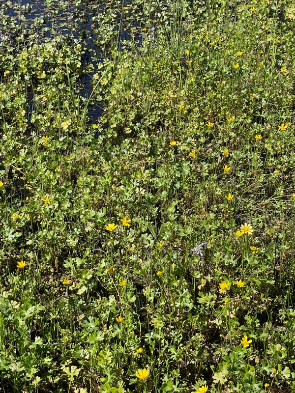
And Swamp Buttercup.
We walked among the reeds for a long time. Reed Warbler birds could be heard singing and occasionally spotted.
You could get an overview from this elevated platform.
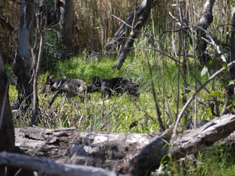
A rustle could be heard a few times and to our surprise it was wild pigs. We saw a few running through the water.
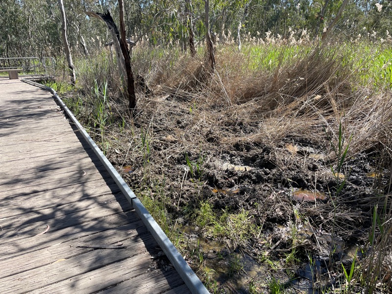
You could see the damage they cause.
We also saw a few kangaroos splashing through the wetland.
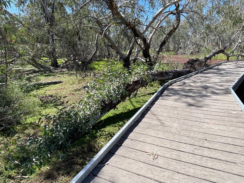
I love how this tree has fallen over, but still has its root system going, as it has sprouted new growth out of the side of the trunk.
The brochure said you could spend about an hour and half. Initially we thought we wouldn’t take that long, but in the end spent about two hours taking it all in. A lovely place to visit at this time of year.
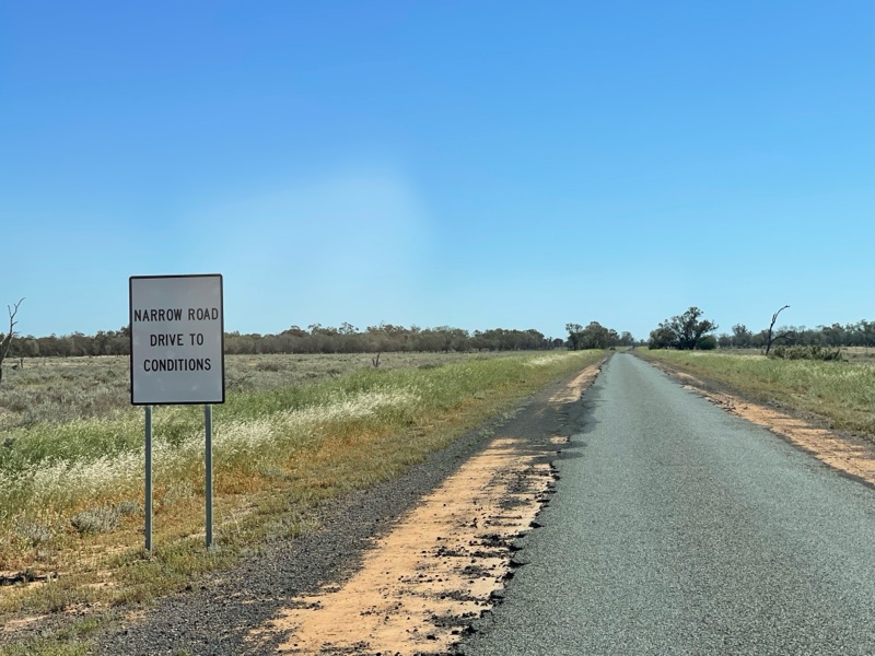
From here we were back on the road heading north. We had to chuckle when you periodically see these signs. As if we hadn’t already been driving on the narrow road for over 100kms already.
Our next port of call was to be Carinda to get some lunch.
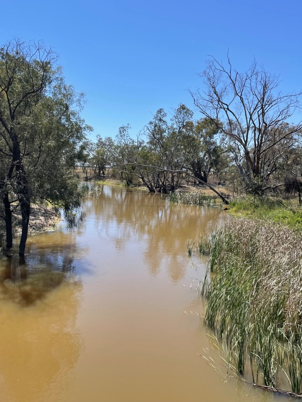
We had to cross the Macquarie River again and were surprised to see that the area around Carinda was a big irrigation cotton farming area.
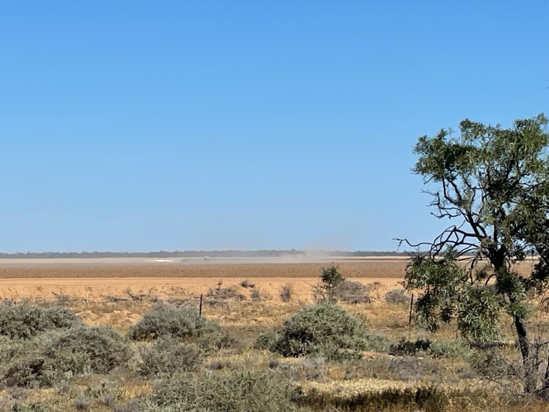
Tractors could be seen working in the distance.
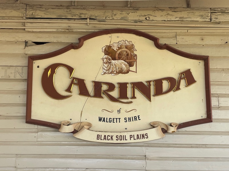
The town is tiny and so remote. The road we came in on was the main one and all the others are dirt and all towns are about at least 100kms away.
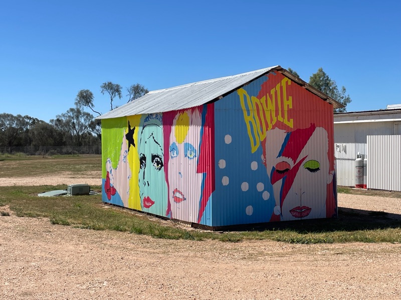
As you come into town one of the first things you see is a mural on the side of the amenities in the Recreation Grounds featuring David Bowie. Why David Bowie?
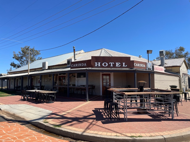
We planned to have lunch at the Carinda Hotel, as this is a rather famous pub.
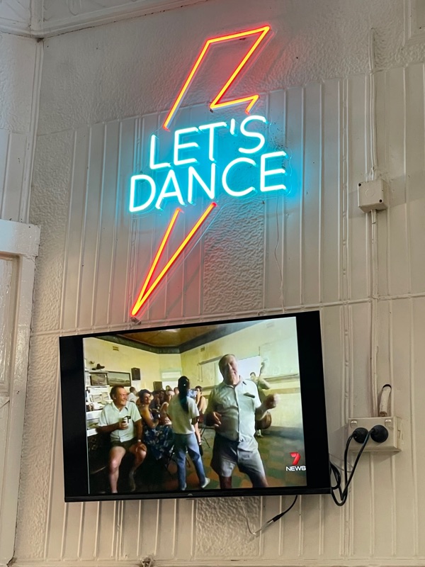
You see, this is the pub that features in the film clip of David Bowie’s song “Let’s Dance”. Look it up on YouTube. Apparently, the brief was that he wanted a country pub, situated on a crossroads with all the roads being dirt. A scout was out looking for somewhere suitable and having no luck. While sitting in a pub at Coonabarabran he was telling of his woes and a fellow told him that Carinda was where he needed to go, and the rest, as they say, is history.
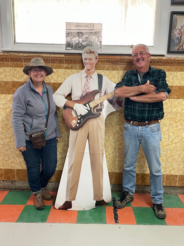
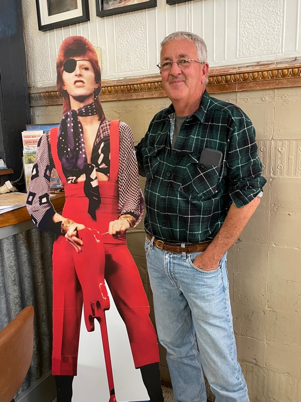
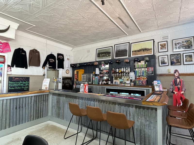
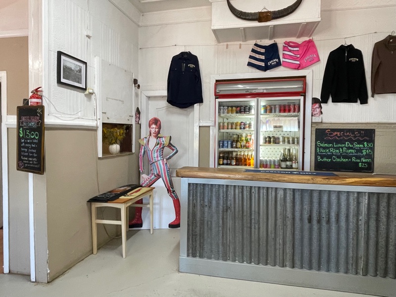
There are life sized cut outs of David in the pub and you have to get your photo taken with one in front of the wall that features in the film clip.
The rest of the bar has been modernised. We were served by a friendly German backpacker and ordered our lunch.
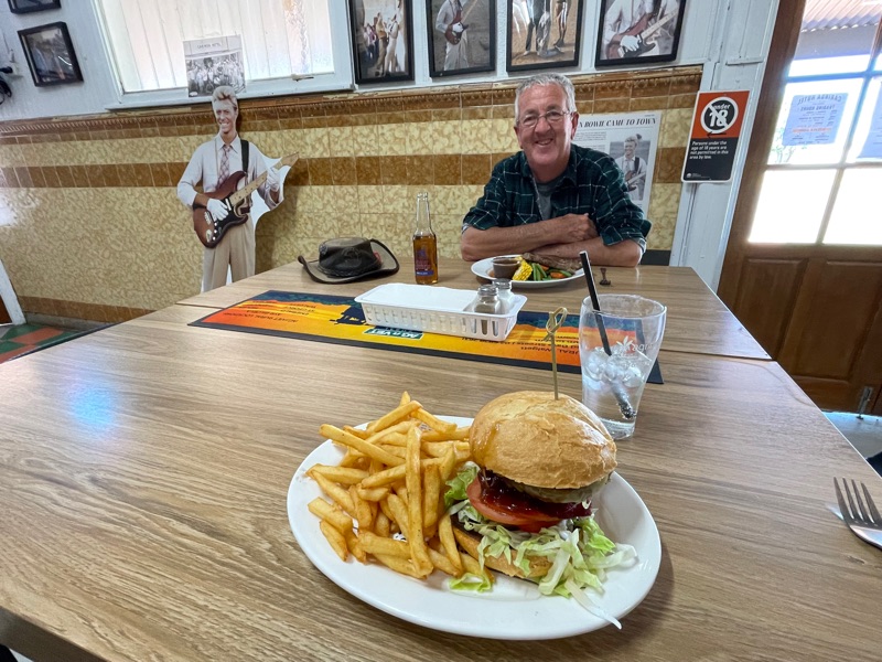
I must say, the meals were excellent. I had to have a “Bowie Burger” and Mick had a rump steak. Definitely worth the drive.
They have a David Bowie Festival on the October long weekend, just after we were there. It was advertised as being the final one this year, but has since been announced that it will return next year.
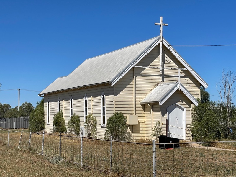
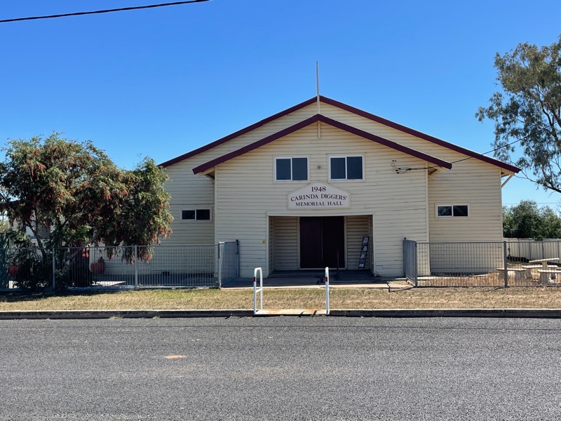
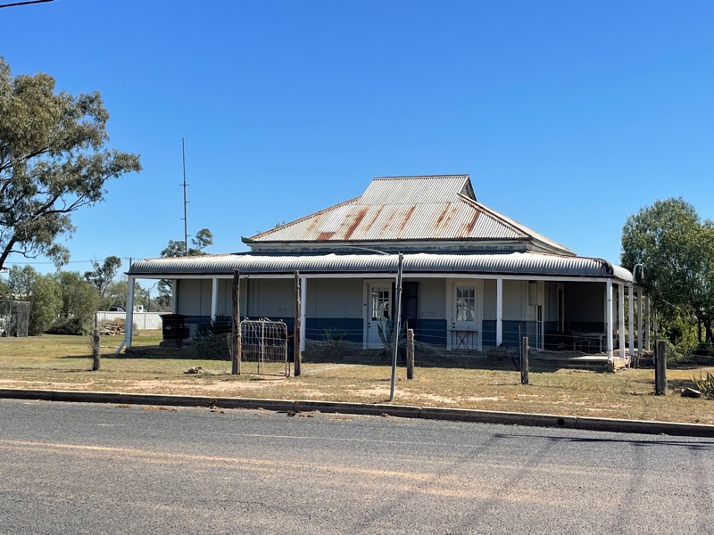
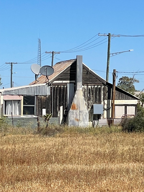
After lunch we had a little drive around the small town before heading back to our camp. It really is a tiny place.
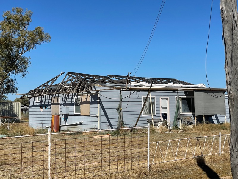
They had a mini tornado go through town last year. The pub lost its roof, as did several other buildings. Some are still missing. The general store (not this building) has been permanently closed as a result.
Later, we were asked if we saw the police station and court house. No, we didn’t. Apparently, it is rather flash for this tiny, very remote town. It is said to have been built here instead of Quirindi, by mistake. As you guess, this is just an urban myth.
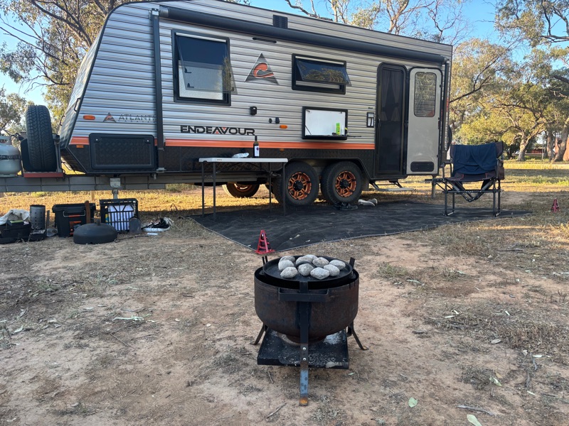
After our visit to Carinda, we just retraced our steps to our campsite to have a nice lazy afternoon.